
Safer Lakes, Cleaner Water
Key Takeaways:
Harmful Algal Blooms Are Escalating: Warming temperatures and nutrient-rich sediments are driving more frequent and severe harmful algal blooms (HABs) in freshwater systems worldwide, including in historically clean lakes like Skaneateles, posing risks to ecosystems, wildlife and human health.
Sonar Mapping Reveals Bloom Triggers: SU researchers are using multibeam sonar technology to map the lakebed depth and bottom type to identify phosphorus-rich sediment zones which could be fueling HABs and threatening water quality.
Pinpointing HAB Zones Is Key to Prevention: Locating areas where harmful algal blooms are likely to form enables targeted interventions that can reduce bloom severity, protect water quality and safeguard public health.
Summer in Central New York often evokes peaceful lakeside moments, but below the surface, evidence of a widespread global issue is developing. Harmful algal blooms (HABs), fueled in part by warming temperatures, are becoming more frequent and severe. These blooms occur when cyanobacteria grow excessively and release toxins that endanger ecosystems, wildlife and human health. A recent study found that over two-thirds of freshwater bodies have seen an uptick in algal blooms, underscoring the urgent need for research into effective mitigation strategies.
Skaneateles Lake, long celebrated as one of the cleanest lakes in the United States and a vital water source for the City of Syracuse, is not immune. Increasingly frequent HABs, driven in part by phosphorus-rich sediments, threaten the lake’s pristine quality, aquatic life and the safety of its unfiltered water supply. As blooms become more common, proactive monitoring and watershed protection efforts are essential to safeguard this crucial resource.
Mapping the Lake
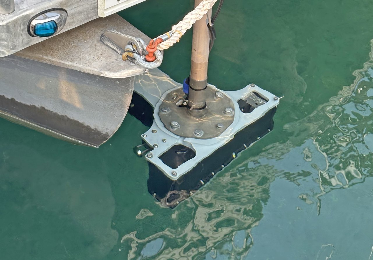
To better understand what’s driving these blooms, a team of researchers from Syracuse University’s Department of Earth and Environmental Sciences (EES) has launched a lakebed mapping project using a multibeam echo sounder system. This advanced sonar technology creates high-resolution images of the lake bottom, helping scientists identify areas of fine-grained mud, which can be hotspots of phosphorus-rich sediment that may be contributing to HABs.
The study’s impact will go beyond environmental research. The data collected by the team also has wide-ranging practical applications, from guiding infrastructure planning, such as potential extensions of Syracuse’s water pipeline, to informing maintenance strategies for lakeside facilities, and even aiding in the identification of shipwrecks resting on the lakebed. Among the wrecks uncovered by the team are the well-known 19th-century wrecks of the steamboats Ossahinta and City of Syracuse. Other discoveries are likely as the team completes processing the data from the summer survey.
The methods and insights developed through this project can also be adapted for use in freshwater systems worldwide, providing a scalable model for identifying lakebed HAB hotspots and safeguarding drinking water sources.
Sediment Signals
The sonar system enables researchers to scan the lakebed in detail, revealing whether the bottom is composed of bedrock, sand, gravel or nutrient-rich mud. This data is crucial for identifying “wash zones” where wind-driven mixing can stir up phosphorus into the sunlit upper layers of the lake, triggering blooms.
“The fine-grained sediment is one of the main reservoirs for nutrients,” explains EES professor Christopher Scholz, who is leading the project. “Phosphorus tends to glob on to those fine-grained particles…and that can be the source of harmful algal blooms.”
Learn more about the project in the video below:
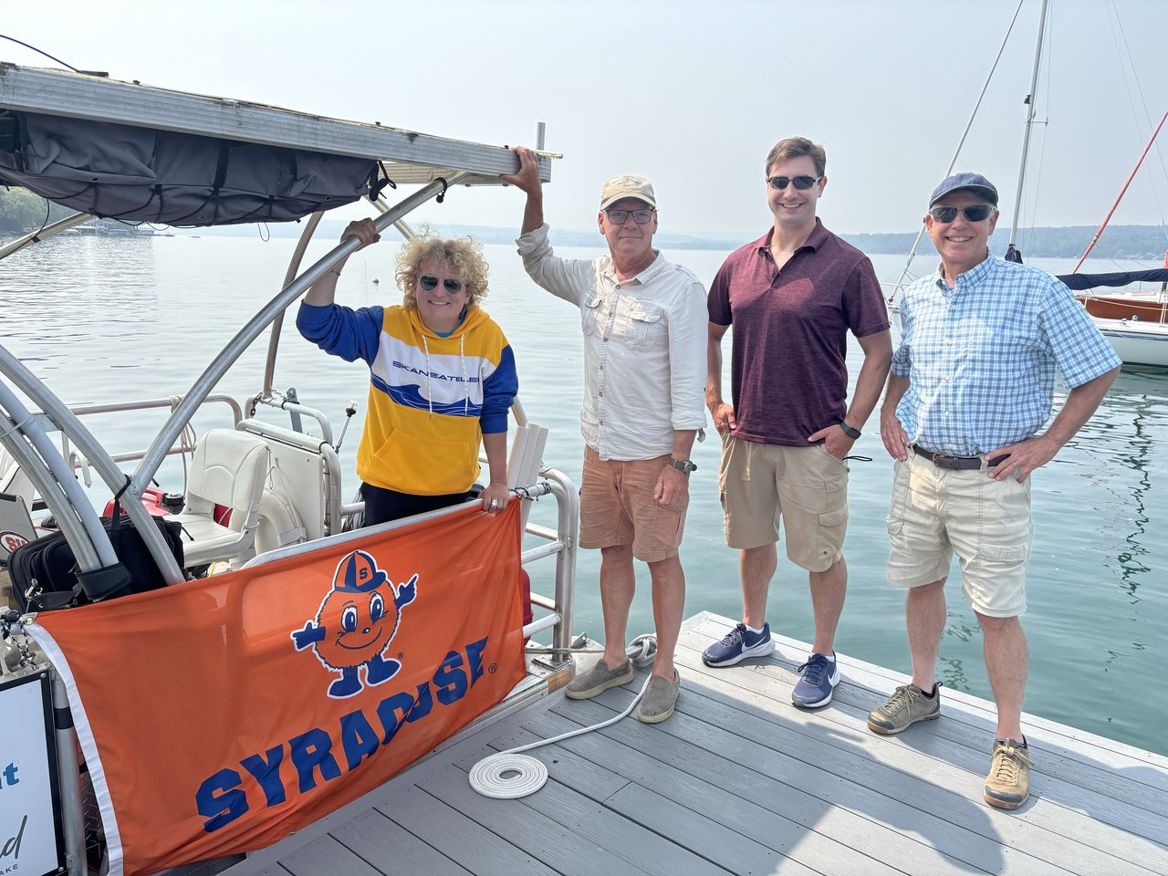
Key to the project’s success is Douglas Wood, a research analyst with the Department of Earth and Environmental Sciences, who has been leading the team’s daily work on the lake throughout the summer. Wood received a master’s degree in Earth and environmental sciences from the College of Arts and Sciences in 2013 and has more than 12 years of experience as a hydrographic survey scientist with the National Oceanic and Atmospheric Administration. He is joined by student researchers who are gaining invaluable hands-on experience with advanced sonar technology and lakebed analysis through their involvement in the project.
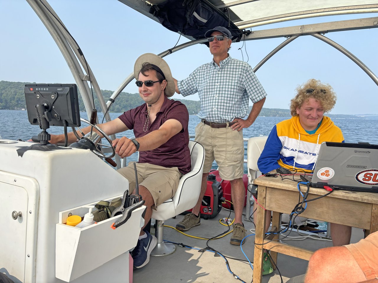
Nick Brennan (left), a doctoral student in EES and Jack Arnstein (right), an environmental engineering major in the College of Engineering and Computer Science, share how this project has enriched their academic journey and practical skills in the video below.
As climate change accelerates, the urgency to understand and mitigate HABs grows. With global temperatures projected to continue rising, proactive efforts to manage their consequences, such as HABs, are essential for protecting ecosystems and communities. By integrating cutting-edge technology, student involvement, and strong community and institutional support, the Skaneateles Lake mapping project stands as a powerful example of how science can advance both environmental stewardship and public well-being.
The project is supported by a coalition of organizations and individuals:
- Skaneateles Lake Association and its Legacy Fund has provided consistent funding for Skaneateles Lake research as well as use of the research vessel.
- National Science Foundation (NSF) provided primary funding for the sonar system.
- Syracuse University Office of Research and the College of Arts and Sciences contributed funds for purchasing equipment.
- Sam and Carol Nappi made a direct donation to fund the summer 2025 research phase.
- New York State Water Resources Research Institute at Cornell University supported sediment coring and historical nutrient analysis.
- Courtesy use of moorings for the research boat during the project were provided by Skaneateles Sailing Club, Dr. Paul Torrisi, and Drs. Marybeth and Jeffrey Carlberg. The Skaneateles Country Club allowed use of its boat launch for deploying and recovering the vessel. Special thanks go to Dr. William Dean, Frank Moses and Kevin Donnelly for assistance during various phases of the project.
Published: Aug. 22, 2025
Media Contact: dtbernar@syr.edu